URBAN FORESTRY
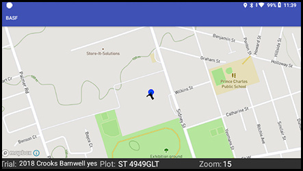
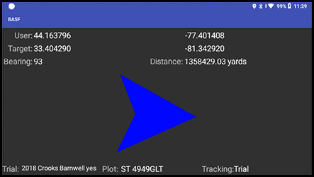
Guiding you to your sites by compass, GPS coordinates and map overlays.
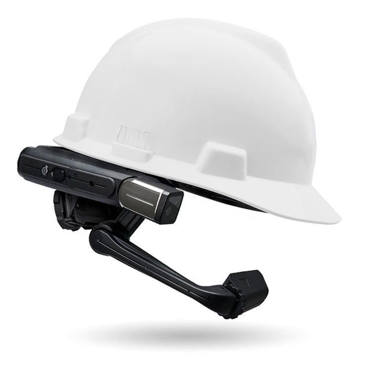
Are you ready to leave pen-and-paper behind?
Choose the hands-free solution that will maximize your care and management of single trees and tree populations in urban settings. Eliminate busywork, increase productivity, and improve every aspect of your mobile safety and inspection program.

In the field
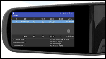
Navigate to your sites via live GPS, gather your measurement and characteristic data by voice, take photos of pertinent items of interest. Be confident that your data is safe – confirmed by both visual and audible feedback.
Real responses from the forest
Did you find the VDTS system easy to use?
- Very much so. You can go from screen to screen by saying what you see. The cheat sheet of commands is very helpful.
Did the software operate in the manner that you were expecting?
- So far yes. The software mirrors our workflow and frees up your hands.
How would you rate our response to any issues requiring support?
- Technical support has been top notch. Very impressed with response time and effectiveness of your responses. Your team has addressed all of our questions, concerns, and request in a very professional and timely manner.
Having used the system, what immediate benefits have you observed?
- Speed and efficiency. I’ve been able to do twice as much using this system. The confirmation of data captured is great with both hearing and seeing the data. Having your hands free of encumbrances really helps.
What future benefits can you foresee having used the system?
- Time saving will be huge when assessing large tracts. Utilizing the camera that automatically geo-tags photos with plot and tree data will be helpful in providing a visual record.
